 Summer to autumn
Hardanger loop
Steinsdalsfossen to Vøringsfossen
- Furthest point
- 174 km
- Drive there
- 2 hrs 33 min
- Ferries
- None
Guides
Language
EnglishCurrency
US dollar · $On GetYourGuide you see prices in this currency.
Guide · Self-drive
A hire car turns western Norway into a choose-your-own day. These day trips from Bergen by car come with distances and drive times from the official route planner, plus the winter closures that matter.
Editorial team, daytripfrombergen.comUpdated October 19, 2026Reading time about 6 minutes55 sources
Quick answer
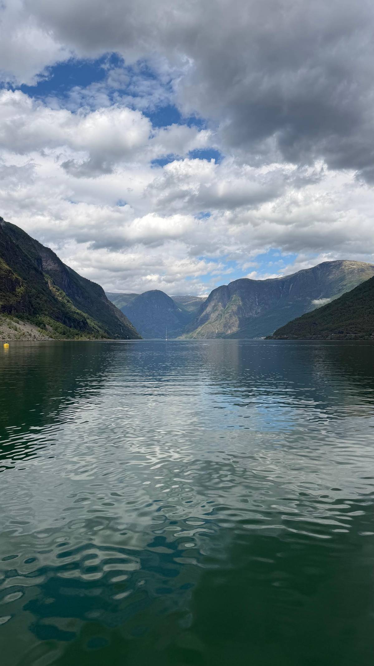
Driving gives you what tours and timetables cannot: the freedom to stop at an empty viewpoint, to wait for the cloud to lift, or to turn down a side road to a village nobody mentioned. Western Norway rewards that freedom: the best light and the quietest moments do not follow a coach schedule.
Every distance and drive time on this page comes from the route planner of the Norwegian Public Roads Administration, Statens vegvesen, measured from Strandkaien in the centre of Bergen. The planner gives the time behind the wheel; queues at ferries, roadworks and photo stops come on top, so add a generous margin to every figure. The times assume normal traffic and summer conditions; in winter, or behind a slow camper van on a narrow road, expect them to stretch.
Plan around a few realities of Norwegian roads. Many routes include ferries, which run to a timetable. Tunnels are long and frequent. And some mountain roads close for the winter, while the main valley roads stay open. The sections below show which day trips fit comfortably into daylight and which are better as overnight trips.
A Hardanger loop by car
Start
Head east on the E16 from central Bergen.6
About 1 hr 15 min
Midday
The scenic route by the Hardangerfjord, open all year.9
Afternoon
Cross the suspension bridge completed in 2013.10
Late afternoon
A 182 m fall into Måbødalen.11
Evening
Return to Bergen on the E16.12
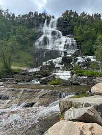
The Hardangerfjord is the obvious first drive. The route planner gives 78.5 km and 1 hour 18 minutes from Bergen to Norheimsund, and 75.9 km and 1 hour 15 minutes to Steinsdalsfossen, the waterfall with a path behind the water, with no ferry on either route.178
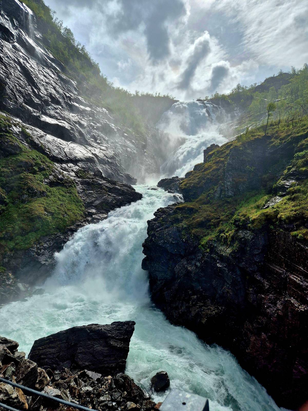
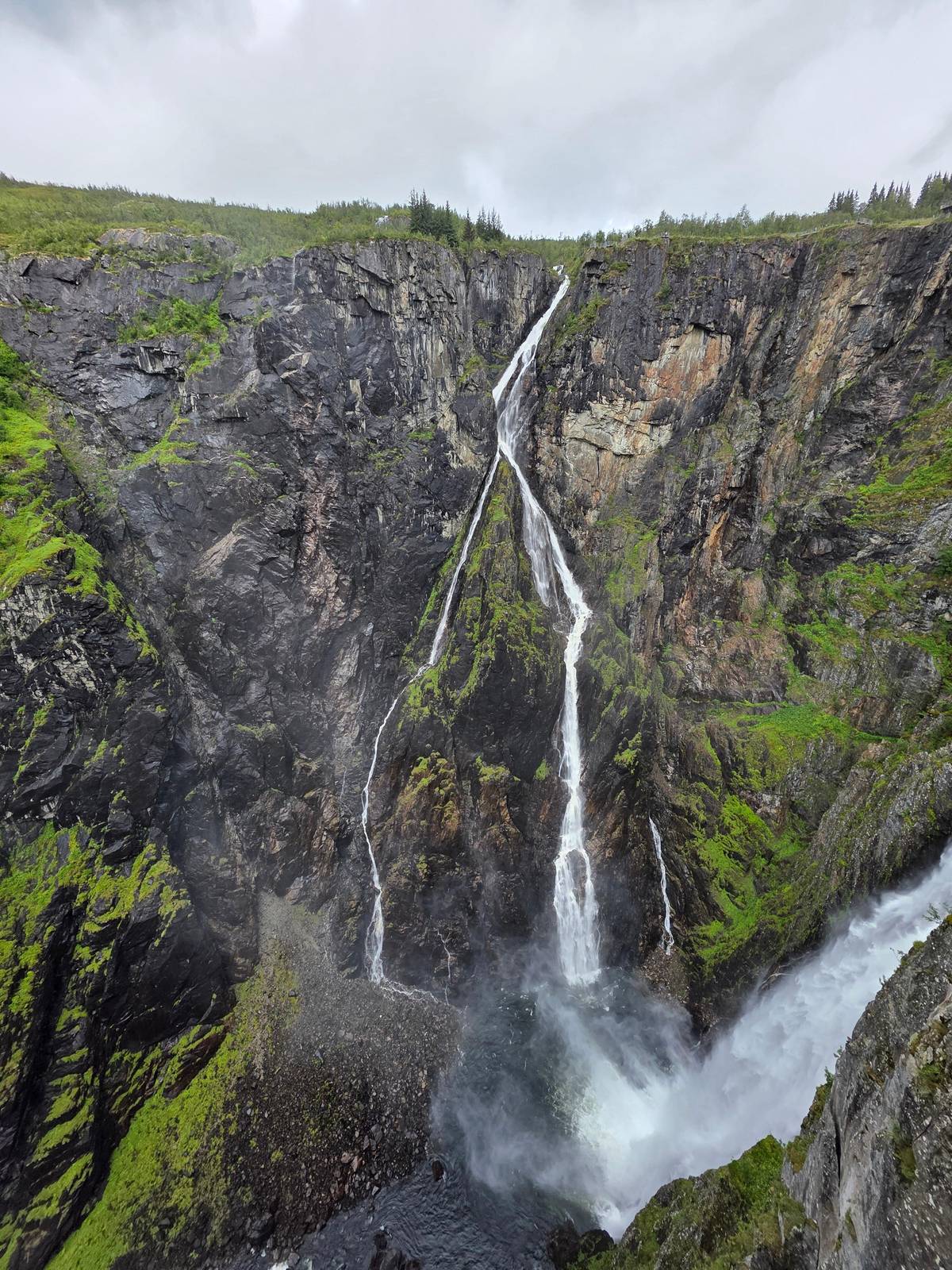
Further in, Vøringsfossen at Fossli is 174 km and 2 hours 33 minutes away; the waterfall falls 182 m into the Måbødalen valley, and the route crosses the Hardanger Bridge, completed in 2013.31110 The Norwegian Scenic Route Hardanger, which follows parts of the fjord, is open all year.9 Stop at the viewpoint above the bridge if the weather is clear: the span over the fjord is one of the defining sights of a Hardanger drive.
A good self-drive loop runs out along the fjord to Steinsdalsfossen and Norheimsund, on to Vøringsfossen, and back via Voss on the E16.12 It is a long day, so start early and keep lunch simple. Parts of the Steinsdalsfossen and Vøringsfossen sites close in winter, so this is a loop for the warmer months.1314
Official drive times
| Destination | Distance | Drive time | Ferries |
|---|---|---|---|
| Steinsdalsfossen | 75.9 km | 1 hr 15 min | 0 |
| Norheimsund | 78.5 km | 1 hr 18 min | 0 |
| Voss station | 103 km | 1 hr 32 min | 0 |
| Rosendal | 97.5 km | 2 hrs 8 min | 2 |
| Gudvangen | 149 km | 2 hrs 11 min | 0 |
| Bondhusvatnet | 110 km | 2 hrs 22 min | 2 |
| Flåm | 169 km | 2 hrs 27 min | 0 |
| Vøringsfossen | 174 km | 2 hrs 33 min | 0 |
| Stegastein | 184 km | 2 hrs 43 min | 0 |
| Fjærland | 249 km | 3 hrs 52 min | 1 |
From Strandkaien, Bergen, in the route planner of the Norwegian Public Roads Administration; drive time only, without ferry waits or stops.71124617231816
Classic drives
Summer to autumnSteinsdalsfossen to Vøringsfossen
 All year
E16 east via Voss
 Ferry day
Decision helper
Choose by what you want to see first
At times of bad weather in the winter, the road over the mountain plateau may be closed for short periods.
The E16 leads east from Bergen through Voss towards the Sognefjord region.2 The route planner gives 103 km and 1 hour 32 minutes to Voss station, 149 km and 2 hours 11 minutes to Gudvangen, and 169 km and 2 hours 27 minutes to Flåm, all without a ferry.1262
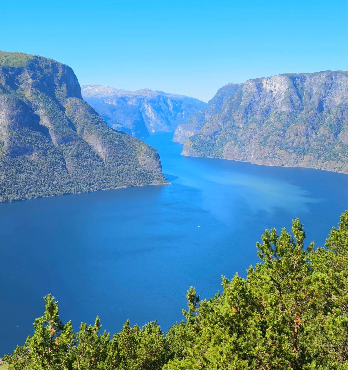
From Flåm, the Stegastein viewpoint is around 18 km and just under 30 minutes further, on the road above Aurland.21 From Bergen the planner gives 184 km and 2 hours 43 minutes to Stegastein.18 Parking at the platform is limited to 30 minutes, so plan a short, focused stop.22 Note that the road from Aurland up to the platform is steep and narrow, with tight bends, so take it slowly and give way where the road widens.
A driver can combine them in one day: Gudvangen for the Viking village and the head of the Nærøyfjord, Flåm for lunch and the railway station, and Stegastein for the view. You can also ride the Flåm Railway up to Myrdal and back while the car waits in Flåm, which adds the railway without changing your plans for the day.
Map
Railway, fjords and waterfalls lie east of the city; the long hikes and Geiranger are much further.
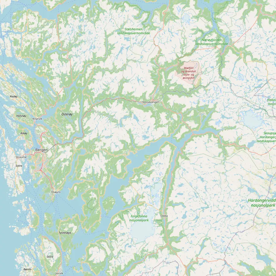 1Strandkaien, Bergen2Voss3Myrdal4Flåm5Gudvangen6Stegastein7Tvindefossen8Steinsdalsfossen9Vøringsfossen10Rosendal11Bondhusvatnet12Odda13Mostraumen14Hardanger Bridge
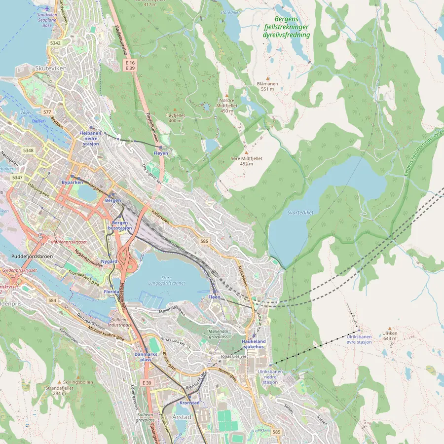 1Strandkaien, Bergen15Bryggen16Bergen station17Fløyen18Ulriken
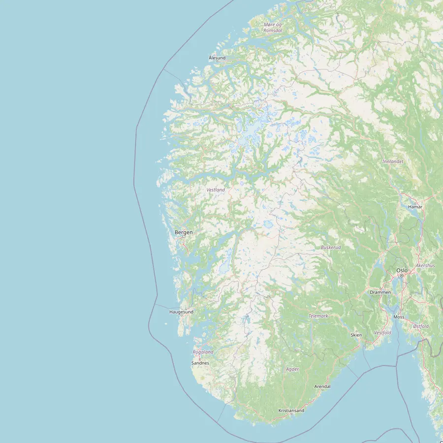 1Strandkaien, Bergen19Trolltunga20Pulpit Rock21Geiranger22Stavanger4Flåm23Fjærland
Many guided day tours meet along this quay, and the driving times on this site are measured from here.2
In Google Maps ↗Just over an hour from Bergen by train, with trains about once an hour.2324
In Google Maps ↗The mountain station at 867 m where the Flåm Railway begins; no road leads here.2526
In Google Maps ↗The sea-level end of the 20 km Flåm Railway, at the head of the Aurlandsfjord.2527
In Google Maps ↗The inner end of the Nærøyfjord, with the Njardarheimr Viking village 150 m from the ferry pier.28
In Google Maps ↗A platform 650 m above the Aurlandsfjord; the road up from Aurland stays open all year.2930
In Google Maps ↗A waterfall that drops 110 m in steps, north of Voss.31
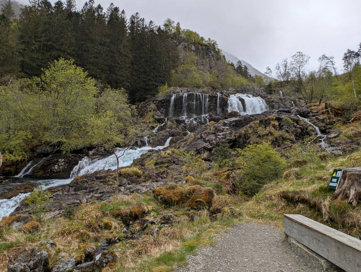
In Google Maps ↗A fall of around 50 m with a path behind the water, 1 hour 15 minutes by car from Bergen.87
In Google Maps ↗Falls 182 m into the Måbødalen valley; parts of the site close in winter.1114
In Google Maps ↗The village of the Barony, built in 1665, about two hours from Bergen by express boat.3233
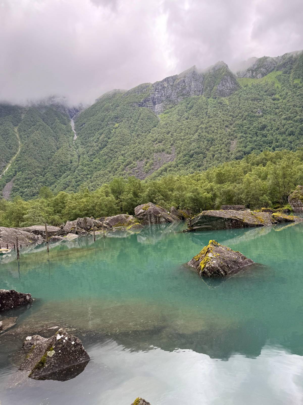
In Google Maps ↗The glacier lake in Folgefonna National Park where the glacier lake tour has its picnic.
In Google Maps ↗The town below Trolltunga; bus 930 from Bergen takes about 3 hours.34
In Google Maps ↗The narrow strait at the far end of the classic 3.5 to 4-hour cruise from Bergen.35
In Google Maps ↗A suspension bridge across the Hardangerfjord, completed in 2013.10
In Google Maps ↗The Hanseatic wharf, on the World Heritage List since 1979, where some 62 old buildings remain.3637
In Google Maps ↗Trains to Voss and Myrdal leave here, and Norway in a Nutshell departs around 08:00.2338
In Google Maps ↗The 320 m viewpoint above the city, about 6 minutes up by funicular.3940
In Google Maps ↗The highest of Bergen's 7 mountains, 643 m above sea level.4142
In Google Maps ↗The rock ledge at 1,180 m, reached on a hike of 7 to 12 hours.4344
In Google Maps ↗A cliff 604 m above the fjord, 5 hours 11 minutes by road from Bergen.4515
In Google Maps ↗The other World Heritage fjord, 120 km from the Nærøyfjord and 6 hours 11 minutes by road from Bergen.465
In Google Maps ↗The city nearest Pulpit Rock, 4 hours from Bergen on the E39.47
In Google Maps ↗The glacier village at the end of the Fjærlandsfjord, reachable only by boat until 1986.4849
In Google Maps ↗Rather not drive?
Compare a few guided days for your group.
Total from$843
per traveler from $422
Check availabilityfree cancellationThe calculator starts from the GetYourGuide from-price and switches currency at the day's ECB reference rate; the booking page has the exact total.
Video
No video data loads before you press play.
South of Bergen, ferries come into play. The route planner gives 97.5 km and 2 hours 8 minutes to Rosendal, with 2 ferry crossings, and 110 km and 2 hours 22 minutes to the Bondhusvatnet glacier lake, also with 2 ferry crossings.417 The crossings are short, and on a fine day the view from the ferry deck is a highlight of the drive, so treat them as part of the scenery rather than an obstacle.
Ferries add waiting time, and queues can build in summer. If you want to see Rosendal without the ferries, the express boat from Bergen takes about two hours each way and lets you leave the car at the hotel.33
Odda, the town below Trolltunga, is 136 km and 2 hours 33 minutes away with 1 ferry crossing, and the Skjeggedal car park for the hike is 148 km and 2 hours 55 minutes.5051 Those are drive times only; the hike itself takes 8 to 12 hours from Skjeggedal, so add the drive and the hike together before you call it a day trip.52
Winter is where self-drivers need the most care. Some of the most remote roads around Bergen may be closed in winter, and the mountain road over Aurlandsfjellet closes for the season, although the stretch from Aurlandsvangen up to Stegastein stays open all year round.5330
The road over the Hardangervidda plateau may close for short periods in bad winter weather.20 The main valley roads and the scenic route along the Hardangerfjord stay open, but snow, ice and early darkness slow every journey.9
If you drive in winter, use a car with proper winter tyres, check the road status before you set off, and keep each day short. Daylight in mid-December in Bergen lasts just 5.8 hrs, so even a two-hour drive eats a large share of the light.54
Norwegian roads carry tolls, and the routes out of Bergen pass toll points on the way to Voss, Hardanger and the south. Most hire cars are fitted with an electronic tag, and the charges arrive on your rental bill after the trip, so ask the rental desk how they handle them before you drive off.
Ferries are part of the road network. You drive on, pay on board or by registration, and drive off at the other side; there is nothing to book in advance on short crossings, but the timetable decides when you leave. Arrive a little early in summer, and use the crossing for a coffee and a look at the fjord.
At popular viewpoints, parking is limited and often short-stay, as at Stegastein, where the limit is 30 minutes.22 Have a plan for each stop, take your photographs, and move on so the next car can park. In villages, use marked car parks rather than verges, which are often private land or farm access.
Some famous names are simply too far. The route planner gives 245 km and 5 hours 11 minutes, with 2 ferry crossings, from Bergen to the Pulpit Rock trailhead, and 371 km and 6 hours 11 minutes, with 1 ferry crossing, to Geiranger.155 That is one way, before any hiking or sightseeing.
Fjærland, at the end of the Fjærlandsfjord and close to Jostedalsbreen, is 249 km and 3 hours 52 minutes away with 1 ferry crossing.16 It can work as a very long day if the glacier is your priority, but it is more enjoyable as part of a loop of several days.
Use those distances to build a route rather than a day trip. Bergen to Stavanger on the E39 takes 4 hours over 210 km, and Ålesund to Bergen is 420 km and about 7 hours 30 minutes, so a loop through the fjords with nights along the way gives you far more than a rushed return drive.4755
Plan your loop
Hold your seat now, settle the bill later, and step back free of charge up to a day before.
Norheimsund and Steinsdalsfossen. Both are about 1 hour 15 to 1 hour 18 minutes away, with no ferry.17
2 hours 27 minutes. The route planner gives 169 km on the E16, with no ferry.2
Yes. The road from Aurlandsvangen to the viewpoint is open all year round.30
Yes, two. The route planner gives 2 hours 8 minutes with 2 ferry crossings.4
Not sensibly. It is 6 hours 11 minutes of driving each way.5
Only partly. Parts of the attraction close in winter.14
30 minutes. Parking at the platform is limited to 30 minutes.22
Sources